Log in
All resources
Create a design
3,564 Free Artworks of Maps Of Amsterdam
maps in the rijksmuseum amsterdam
koninklijke bibliotheek
maps in the stadsarchief amsterdam
special collections of the university of amsterdam
maps from university of amsterdam special collections
atlas der neederlanden
copperplate print
maps by willem and johannes blaeu
romeyn de hooghe
hendrik de leth
pacific ocean in art
ships on maps
maps in the stadsarchief amsterdam
hendrik de leth
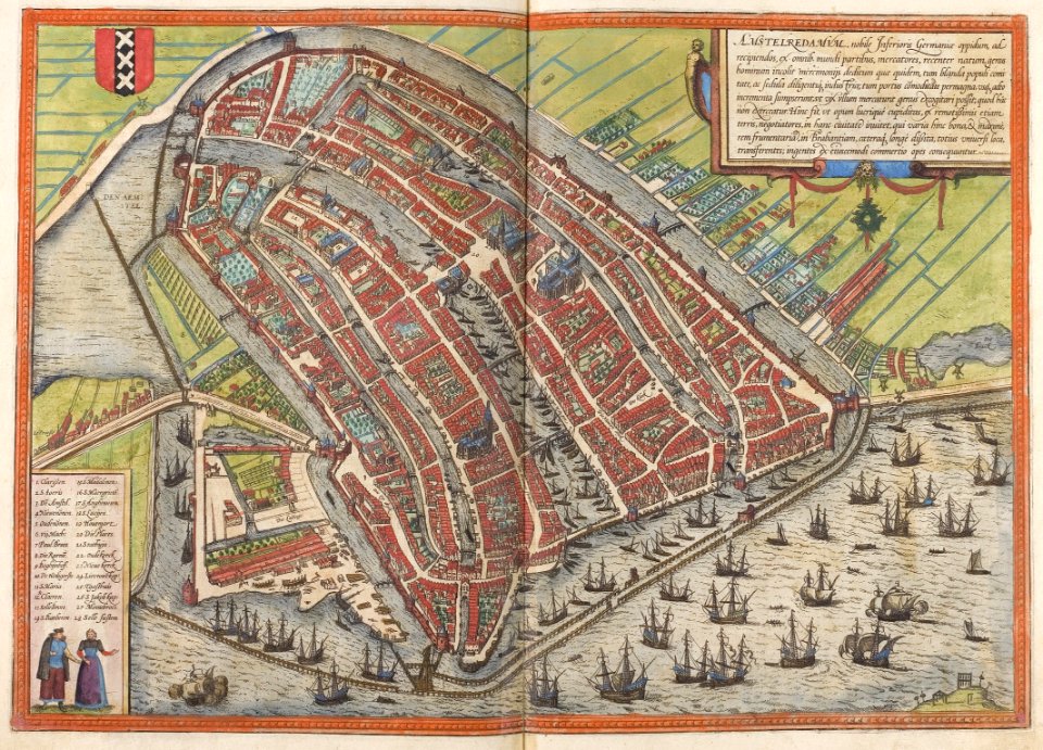
16th-century maps of amsterdam
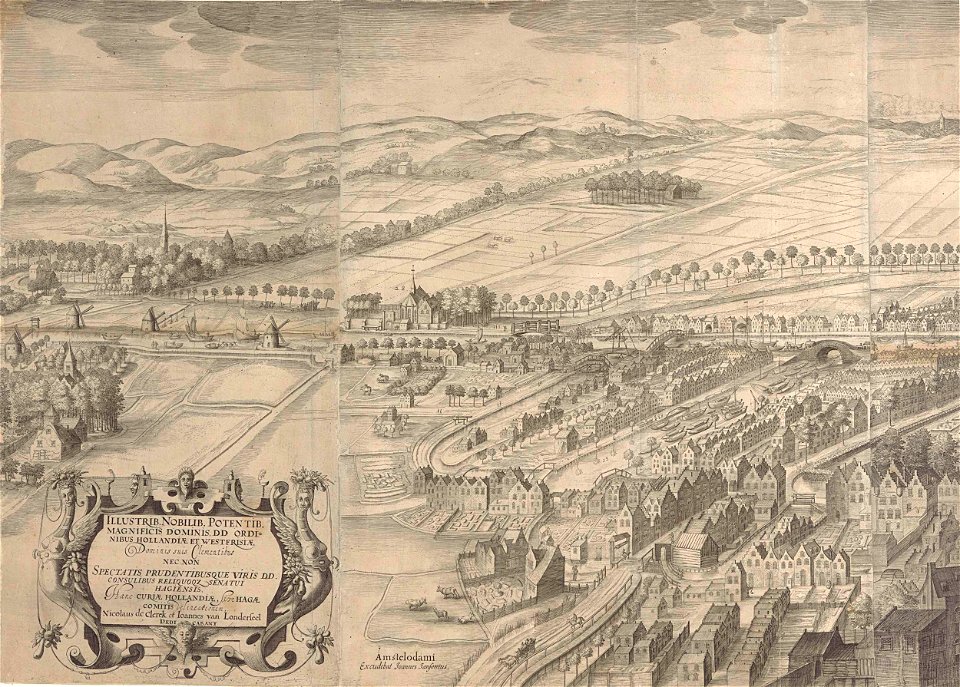
amsterdam in the 1590s
dutch 17th-century prints in the rijksmuseum amsterdam
maps in the rijksmuseum amsterdam
maps from university of amsterdam special collections
atlas der neederlanden
maps by nicolaes visscher i
atlas van der hagen
atlas van der hagen (volume 1)
atlas van der hagen
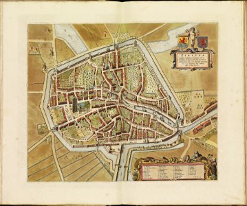
old maps of zierikzee
copper engravings
atlas van der hagen (volume 4)
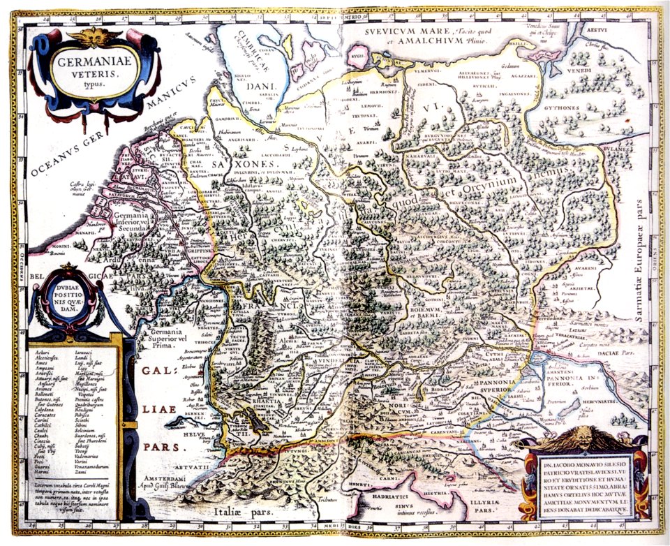
german renaissance
old maps of amsterdam
evert maaskamp
maps in the stadsarchief amsterdam
daniël veelwaard (i)
drawings in the stadsarchief amsterdam
drawings by adriaen van de velde
maps by willem and johannes blaeu
17th-century maps of bermuda
17th-century celestial maps
bodleian maps collection
17th-century celestial maps
bodleian maps collection
maps of the dutch east india company - mauritius
1753 maps of africa
prints by jan luyken in the rijksmuseum amsterdam
maps in the rijksmuseum amsterdam
maps by willem and johannes blaeu
17th-century maps of asia
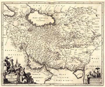
maps of persia by mercator-hondius
jodocus hondius i
1760 works
prints
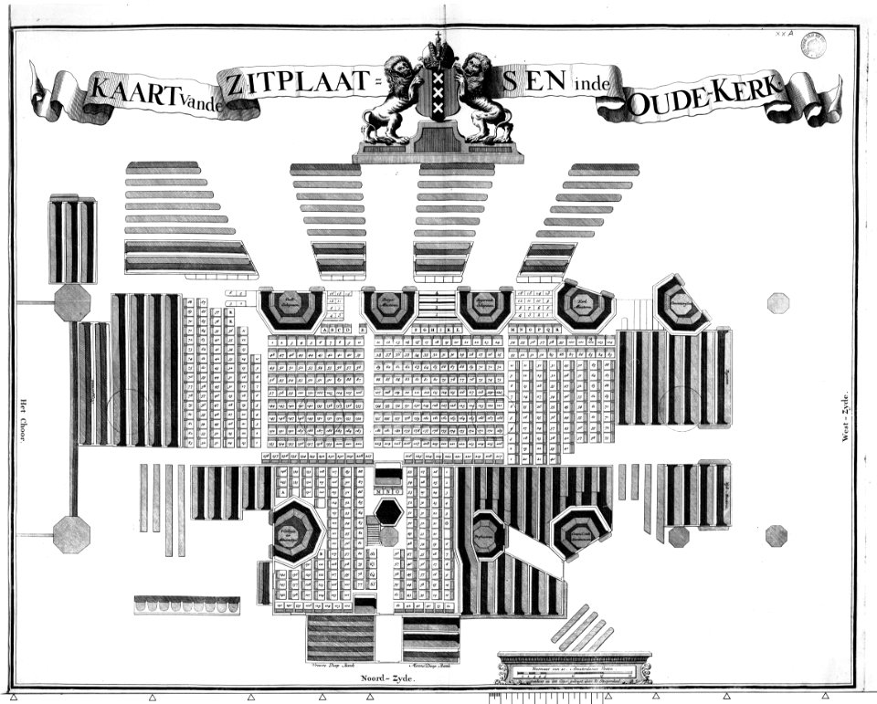
het zegepralent kennemerlant
hendrik de leth
media from regionaal archief alkmaar
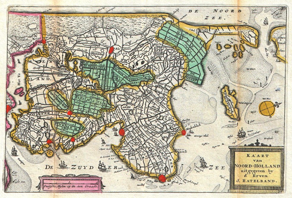
old maps of north holland
gommarus wouters
cornelis meijer
gemeente atlas van nederland - north holland
19th-century maps of amsterdam
maps from university of amsterdam special collections
atlas der neederlanden
maps in the rijksmuseum amsterdam
old maps of franeker
maps from university of amsterdam special collections
atlas der neederlanden
maps from university of amsterdam special collections
atlas der neederlanden
maps from university of amsterdam special collections
atlas der neederlanden
lucas janszoon waghenaer
1584 maps of norway
amsterdam in the 1540s
agnietenkapel
maps of the dutch east india company - south africa
1682
maps in the stadsarchief amsterdam
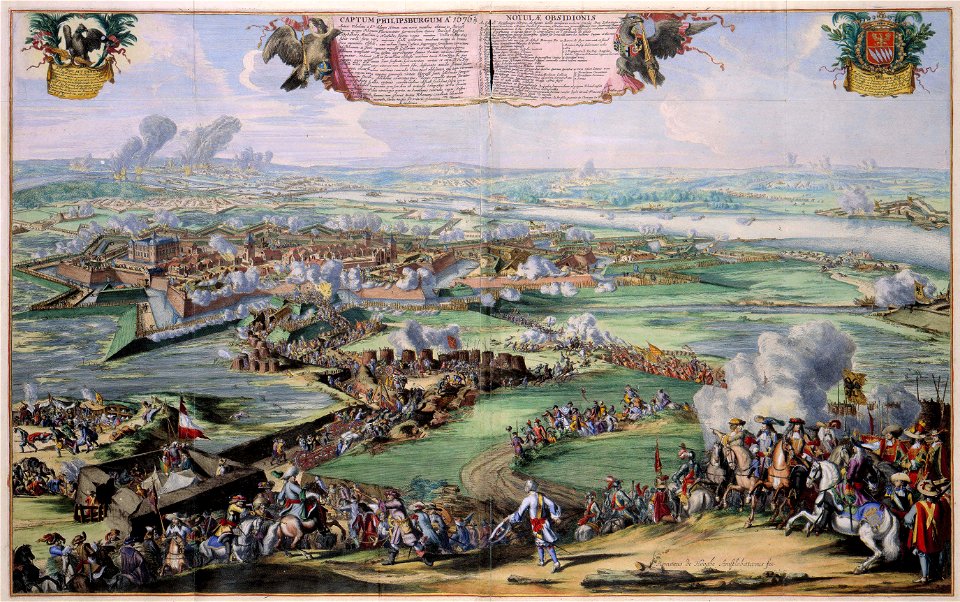
romeyn de hooghe
maps of the west-indische compagnie
1671
historical maps of crema
porta serio
historical maps of crema
porta ombriano
dutch 17th-century prints in the rijksmuseum amsterdam
old maps of the hague
maps by willem and johannes blaeu
17th-century maps of france
maps of franconia by gerardus mercator
1640s maps of bavaria
maps of north america, nypl collection
novi belgii, atlas maior
biblioteca di storia e cultura del piemonte "giuseppe grosso"
media from giuseppe grosso library
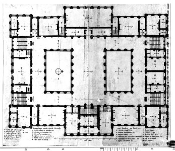
construction drawings in the stadsarchief amsterdam
dutch baroque architecture
maps in the stadsarchief amsterdam
daniël veelwaard (i)
alessandro baratta
old maps of genoa
maps of the dutch east india company - iran
old maps of the dutch east india company
atlas van der hagen (volume 4)
atlas van der hagen
maps of country estates in the netherlands
het zegepralent kennemerlant
maps of amsterdam by braun & hogenberg
cornelis anthonisz.
maps in the stadsarchief amsterdam
carolus allard
a map of the british empire in america with the french and spanish settlements adjacent thereto
1730s maps of the caribbean
prints by wenceslaus hollar in the rijksmuseum amsterdam
maps by wenzel hollar
prints by pieter hendricksz. schut in the rijksmuseum amsterdam
maps in the rijksmuseum amsterdam
maps by pieter mortier
maps from gallica
maps in the stadsarchief amsterdam
romeyn de hooghe
prints by jan luyken in the rijksmuseum amsterdam
maps in the rijksmuseum amsterdam
print room of the university of antwerp
kaarten van vlaanderen (prentenkabinet)
maps from university of amsterdam special collections
atlas der neederlanden
maps from university of amsterdam special collections
atlas der neederlanden
maps in the rijksmuseum amsterdam
johannes de ram
anthonisz., cornelis - gezicht op amsterdam in vogelvlucht - amsterdam museum
oil on panel
maps by daniel stoopendaal
biblical maps
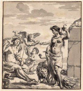
allegory of the americas
allegories of africa
maps from university of amsterdam special collections
atlas der neederlanden
old maps of north holland
daniel de la feuille
maps in the amsterdam museum
1667 sanson map of africa
18th-century maps of the iberian peninsula
maps in the rijksmuseum amsterdam
collections of prädikantenbibliothek isny
maps by willem and johannes blaeu
house of arenberg
parks in belgium
hendrik van langren map of south asia
1596 maps of asia
prints by cornelis anthonisz. in the rijksmuseum amsterdam
map of amsterdam, 1544
17th-century maps of the spanish empire
maps of the spanish netherlands
maps of the universiteit van franeker
maps in the rijksmuseum amsterdam
maps in the stadsarchief amsterdam
romeyn de hooghe
maps from university of amsterdam special collections
atlas der neederlanden
maps in the stadsarchief amsterdam
claes jansz. visscher (ii)
maps in the stadsarchief amsterdam
daniël veelwaard (i)
maps in the stadsarchief amsterdam
maps by carolus allard
historical maps of crema
maps by pieter mortier
construction drawings in the stadsarchief amsterdam
daniel stoopendaal
construction drawings in the stadsarchief amsterdam
daniel stoopendaal
maps from university of amsterdam special collections
atlas der neederlanden
maps in the rijksmuseum amsterdam
maps of pompeii
old maps of the strait of gibraltar
maps in the rijksmuseum amsterdam
drawings by jan toorop in the rijksmuseum amsterdam
expressionism,symbolism,pointillism
gemeente atlas van nederland - north holland
19th-century maps of amsterdam
maps in the stadsarchief amsterdam
hendrik de leth
maps by pieter mortier
maps from gallica
maps in the rijksmuseum amsterdam
emrik & binger
claes jansz. visscher (ii)
maps by abraham goos
maps by willem and johannes blaeu
maps made in the 17th century
maps in the rijksmuseum amsterdam
1627 maps
university of amsterdam
map of amsterdam, 1544
17th-century maps of the indian ocean
maps by willem and johannes blaeu
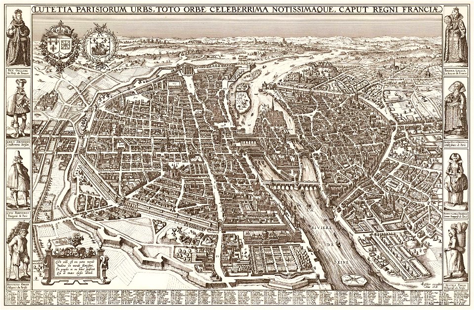
map of paris by claes jansz. visscher
bird's eye view maps of paris
map of paris by claes jansz. visscher
bird's eye view maps of paris
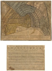
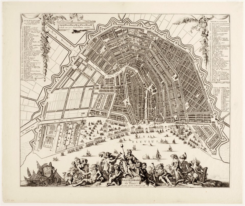
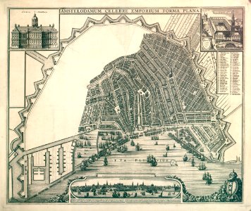
map of amsterdam by julius milheuser after daniël stalpaert, 1662
julius milheuser
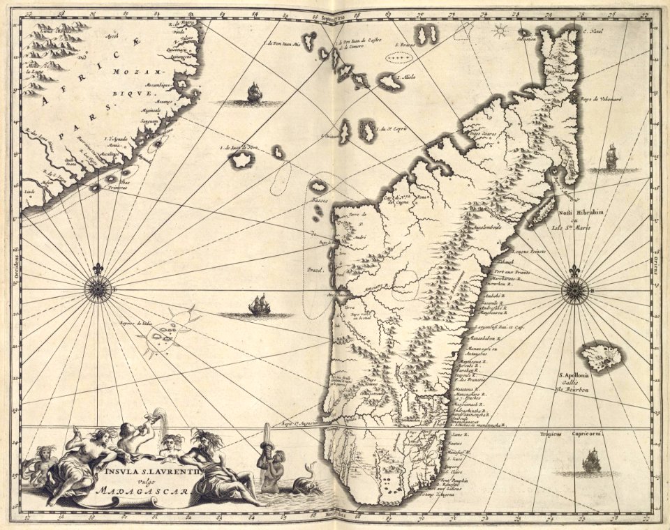
maps of the dutch east india company - mozambique
maps of the dutch east india company - madagascar
maps of the dutch east india company - south africa
1682
maps of the west-indische compagnie
1668
maps in the rijksmuseum amsterdam
old maps of franeker
501 - 600 of 3,564
Next page
/ 36